Vacanze al Lago di Molveno, Dolomiti di Brenta

|
|
|
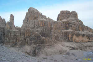
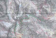
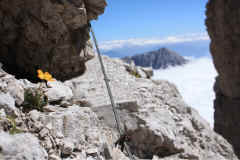
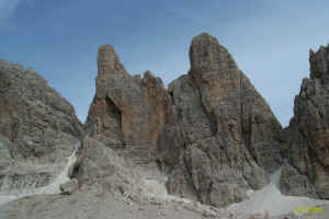
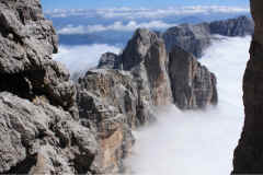
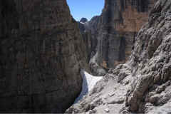
The routes with fixed rope supports in the Brenta Dolomites, Trentino: Sentiero Brentari description: This fixed rope route is part of the Ideale path which links the Dodici Apostoli Refuge with the Pedrotti Refuge high up and via the Bocca di Ambiez and Bocca della Tosa passes. The stretch we are interested in is not particularly difficult and allows hikers to enjoy peerless views over the loveliest peaks in the Brenta Dolomites. Leave the Agostini Refuge and head for the Ambiez hanging glacier with in front of you the wonderful sight of the sheer rock faces of the Tosa and Cima Ambiez peaks. After the path no. 321 fork (Castiglioni fixed rope route) you climb up the snowfield as far as the beginning of the fixed rope route along the southern rock face of the Tosa peak, carrying on to the Bocca Tosa pass and then on to the Sella della Tosa saddle where you are at the highest point of the path (2,859 metres). The path continues, without any particular difficulties, northwards on the eastern slope of the Tosa peak until it rejoins the normal path. Underneath you is the Palmieri path and lower down still is the dark stain of the Pozza Tramontana hollow; ahead is the Monte Daino massif. After several snowfields with wonderful views over the Campanil Basso and the Brenta Alta, carry on with the Cima Margherita on your left and when you have gone around the Cima Brenta Bassa you come to the Pedrotti Refuge after crossing path no. 320. |
| Starting point: | rifugio Silvio Agostini – Val d’Ambiez |
| Finishing point: | rifugio Pedrotti |
| Maximum height: | m. 2859 , Sella della Tosa |
| Difference in height: | 450 meter |
| Time required: | 2,30 – 3 hurs |
| number of path: | 358, 304 |
| Recommended route for early return to base: | sentiero Palmieri |
| Level of difficulty: | not particularly difficult |
| Period recommended: | june - october |
Table of times between points and heights: sentiero Ottone Brentari
| area | path | height | time between areas | time from start | notes, route variations |
| Rif. Agostini | 358 | 2410 | 0 | 0 | - |
| fork 321 | 358 | 2500* | 0,20 | 0,20 | quota approssimativa, a sin. per Fer. Castiglioni |
| fork 304-358,vedr.Ambiez | 358 | 2800 | 0,50 | 1,10 | a sin. per la Bocca Ambiez |
| Bocca della Tosa | 304 | 2845 | 0,25 | 1,35 | - |
| Base sud C.Brenta Bassa | 304 | 2470 | 1,00 | 2,35 | - |
| Rifugio Pedrotti | 304 | 2491 | 0,10 | 2,45 | - |

